Spatial Data Analysis and Modeling (SPADA+) Laboratory

  • Publication
    • Journal
    • Books
    • Manual
  • Activities
    • Conference Presentation
    • Projects
    • Lectures
    • Invited Talks
  • Seminar
  • Members
    • Staff
    • Students
    • Alumni
  • Practice
    • Weather Research and Forecasting
    • ArcGIS Tutorial
    • Python Tutorial
    • OpenDrift Tutorial
  • Resources
    • Datasets
    • Links
  • Future Research
    • DMSP OLS: Nighttime Lights Time Series Version 4, Defense Meteorological Program Operational Linescan System
    • Shoreline Change Mapping
    • Coastal Management – Automatic Shoreline Delineation and Change Detection Analysis
    • OpenDrift Tutorial

Seawater Quality Monitoring and Assessment in Coastal Regions

admin November 2, 2022 0 Comments

Uncategorized

Papers:

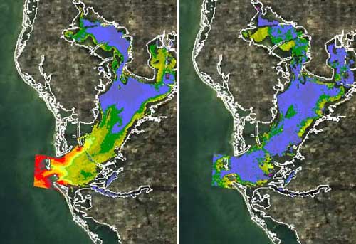
  1. Use of the Sentinel-2 and Landsat-8 Satellites for Water Quality Monitoring: An Early Warning Tool in the Mar Menor Coastal Lagoon
  2. Air and Seawater Quality Assessment Around Selected Area in Panjang Port Lampung Region
  3. Seasonal Variation of Dissolved Oxygen in the Southeast of the Pearl River Estuary
  4. Automatic Mapping and Monitoring of Marine Water Quality Parameters in Hong Kong Using Sentinel-2 Image Time-Series and Google Earth Engine Cloud Computing
  5. Application of satellite remote sensing in monitoring dissolved oxygen variabilities: A case study for coastal waters in Korea
  6. Coastal Water Quality Monitoring with Remote Sensing in (East Kalimantan) Makassar Strait, Indonesia

← Previous post

Next post →

Related Posts

  • [Publication]  Optimal site selection and potential power assessment for tidal power generation in the Seto Inland Sea, Japan, based on high-resolution ocean modelling and multicriteria analysis[Publication] Optimal site selection and potential power assessment for tidal power generation in the Seto Inland Sea, Japan, based on high-resolution ocean modelling and multicriteria analysis
  • ICCE Summary
  • Newly accepted paper
  • Regional development seminar from the viewpoint of the SDGs – Field studyRegional development seminar from the viewpoint of the SDGs – Field study
  • NASA’s Applied Remote Sensing Training
  • Urban Heat Island certificateUrban Heat Island certificate

Leave a Comment Cancel reply

Your email address will not be published. Required fields are marked *

Recent Posts

  • [Publication] Optimal site selection and potential power assessment for tidal power generation in the Seto Inland Sea, Japan, based on high-resolution ocean modelling and multicriteria analysis
  • [Publication] Advanced solar energy potential assessment in Malawi: Utilizing high-resolution WRF model and GIS to identify optimal sites for solar PV generation
  • [New Publication] Identification of optimal CMIP6 GCMs for future typical meteorological year in major cities of Indonesia using multi-criteria decision analysis
  • [new publication] Water resource management for improved crop cultivation and productivity with hydraulic engineering solution in arid northern Afghanistan
  • ICCE Summary

Recent Comments

No comments to show.

Room 101, Research Hub Building, DOrSU Main Campus, Mati City, Davao Oriental, Philippines 8200

Copyright (c) SPADA+ Lab. All Rights Reserved.